The Glasgow Inner Circle route is a 200km (3,000m+) off-road mega ride that circumnavigates the city and takes in some of the best and most challenging terrain in the surrounding area. Here is a quick description of the route and a ride report from a full-ride of the loop in early March 2021. I want to give some publicity to this great route that my friend Chris Johnstone put together and would encourage any interested riders to ride some sections of the loop before tackling the full beast!
Gear choice
I’d recommend some wider tyres (40mm +) as there are some muddy and boggy sections along the route. I’ve ridden it on both 40mm gravel tyres and 29” mountain bike monster truckers. The terrain is a mixed bag so make your choice and be warned that there are sections of hike-a-bike regardless of bike and tread choice!
The Glasgow Inner Circle route
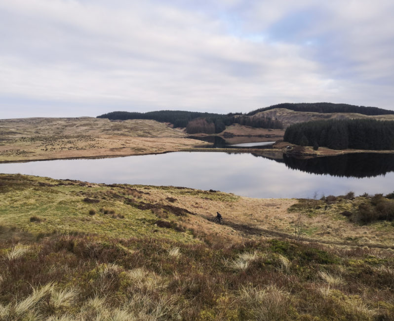
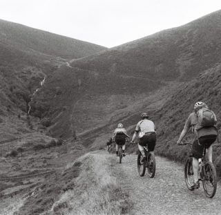
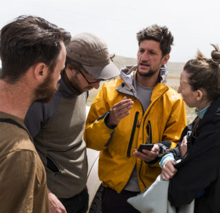
The Glasgow Inner Circle route starts under the north side of the Erskine Bridge in Old Kilpatrick. It can be reached by train (in non-COVID times) or a short ride out following the canal from the city. Last weekend we met at the start point at 7am with snack-loaded bikes, ready for a long day ahead. The first section of the route leads up and over the Old Kilpatrick hills, with a steep gravel climb at the start acting as a great warm up for the ride ahead, with great views of the River Clyde. At the top of the climb, you ride into a moorland section which traverses over the hills past Jaw Reservoir and Cochno Loch. There are a few steep sections of hike a bike and some bogs to navigate but this is all great fun riding!
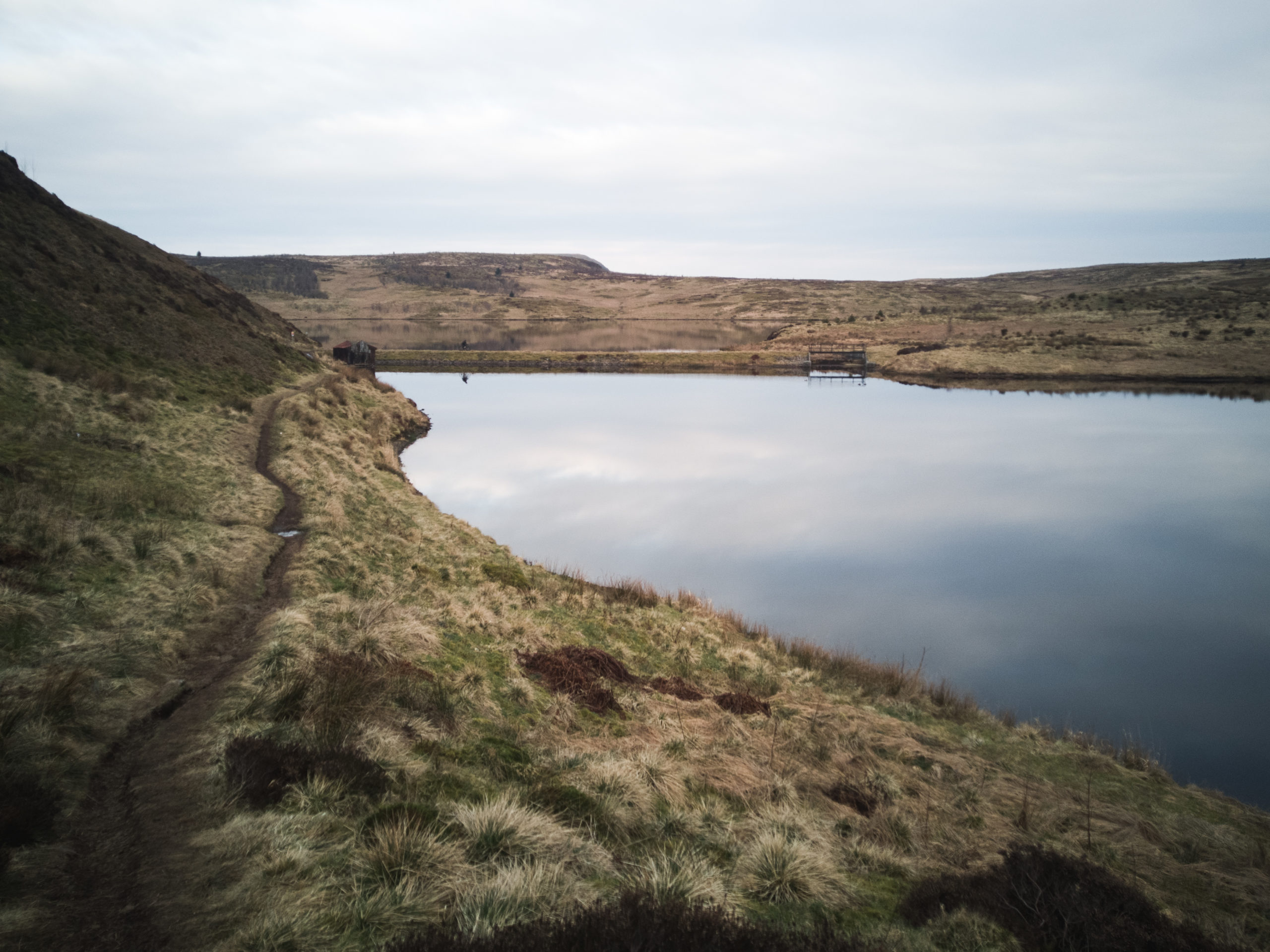
Some fun trails which skirt Cochno Loch
After Cochno, the route links to some faster forest roads down to Carbeth (where there is a coffee stop) and over to Mugdock Country Park. This section leads over to Lennox Forest where there is a rather boggy climb over the top. The way down the other side of the hill takes in some fast mountain bike trails past the spooky abandoned psychiatric hospital. From here the route gets flatter for a while and joins the old Strathkelvin Railway Path. It’s a good idea to have a bell to warn the dog-walkers of your presence along here.
The route then gradually works its way south, passing through Kirkintilloch (another potential refuel stop in non-COVID time). These are a mix of walking paths and gravel tracks with some shorter road links in between, plus a lovely section of canal near Drumpellier to mix it up. There are some more country parks before reaching the Clyde River path in Bothwell. Across the river you are now halfway through the ride (almost)!
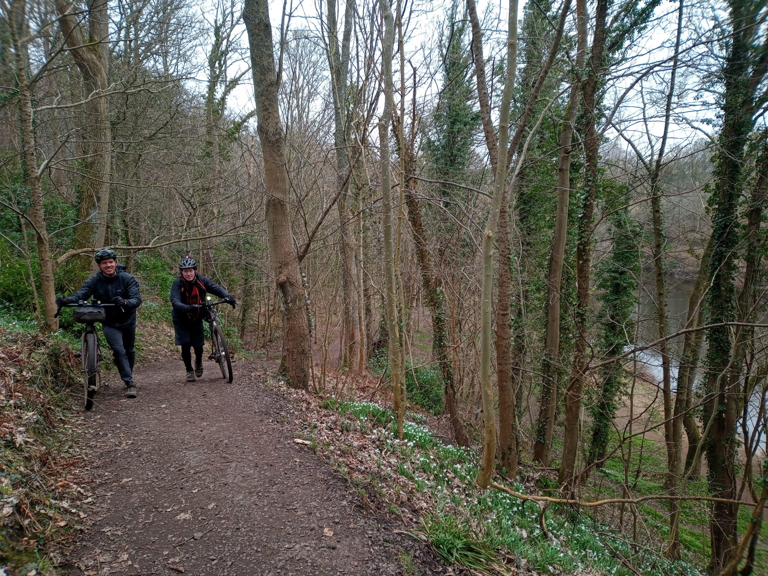
Another short hill following the Clyde river near Bothwell
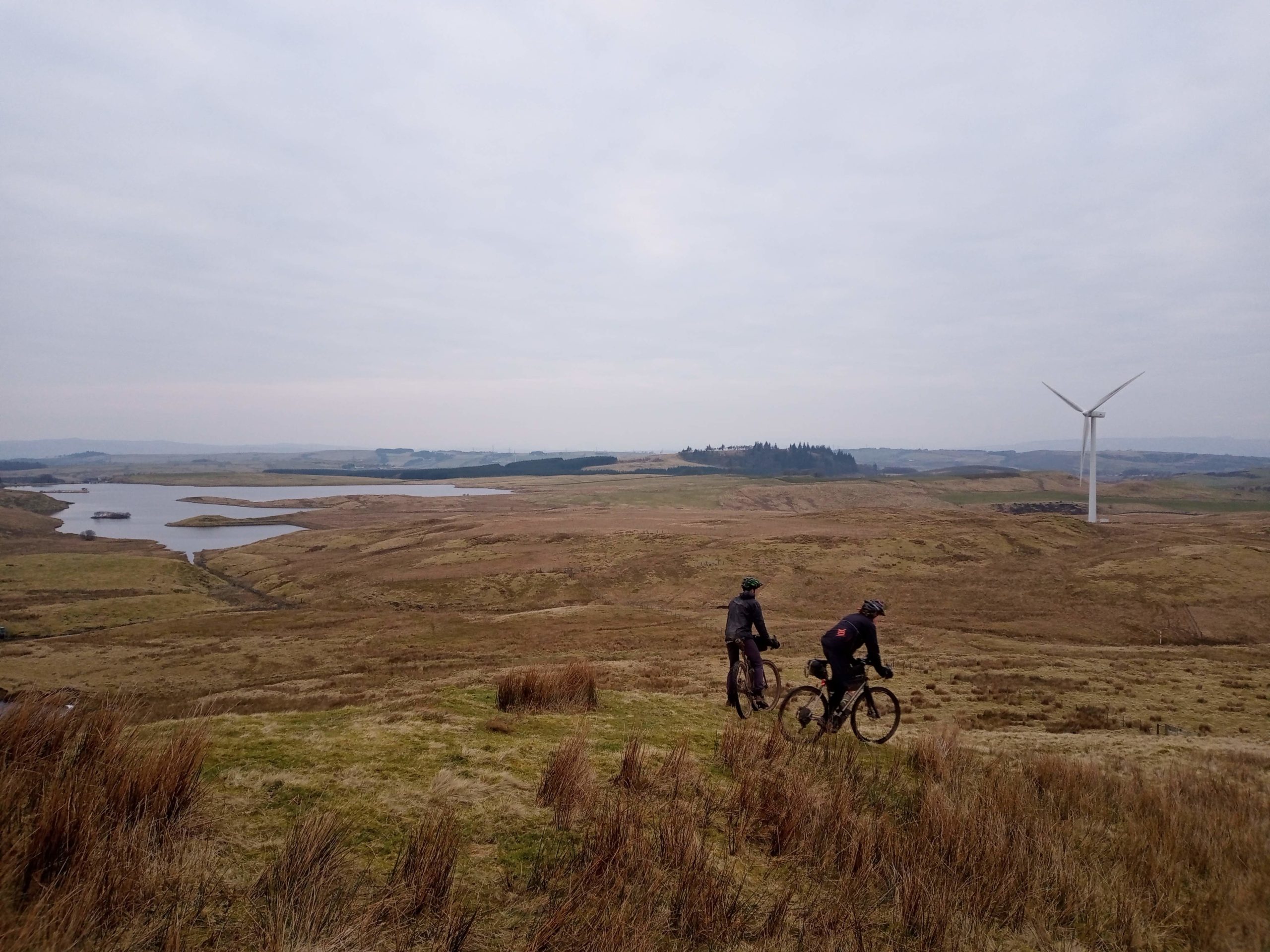
Roads leading over to Cathkin Braes are up next, where you will dip in to the mountain bike trails for an excellent view of Glasgow, from the south east this time. The route continues out south towards Eaglesham and the fast-going gravel roads of Whitelee Wind Farm. A few gates on the way up to the wind farm might slow you down slightly, but once up on the real gravel this is really easy going stuff. Keep an eye out for geocaching fence posts as you enter the wind farm!
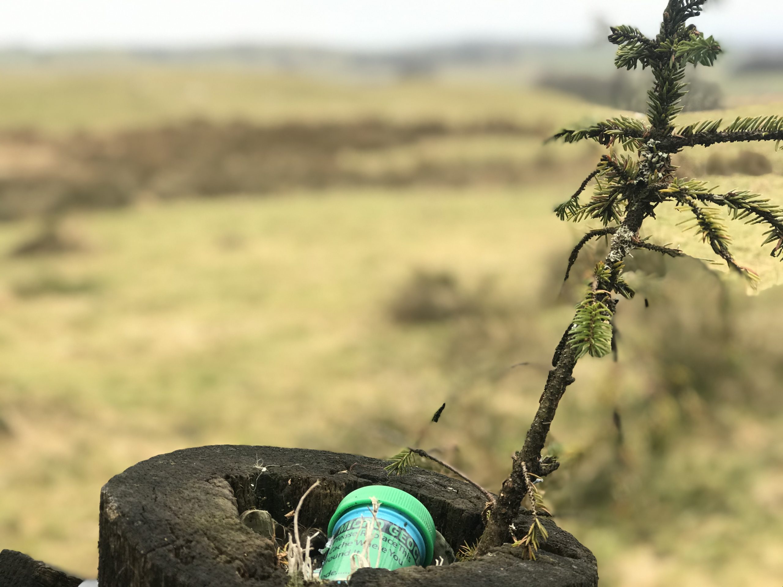
Keep an eye out for geocaching fence posts!
After Whitelee, there are some roads leading across the busy Ayr Road. This is another good point where it’s possible to head back in to the city on a cycle route. Coming up is a tough going off-road section, on our last outing this involved ducking under electric fence to cross a small reservoir. At this point you may start questioning the GPX on your bike computer but keep the faith, you are on track!
You may think you are off-course at this stage but just stick with it.
Crossing some moorland and woodland, walking paths take you over to Barrhead where there is a punchy climb over the valley to Gleniffer Braes. Politely say hello to the Highland cows up there and keep on trucking through the muddy slop. Take a wider berth of any mother and calf combos that stand in your way. There are some seriously muddy bits up here but again it’s all worth it for some great views of Glasgow from the south west. Next up is Howwood (another train station bail out option) before the last real challenge of the ride, Clyde Muirshiel.
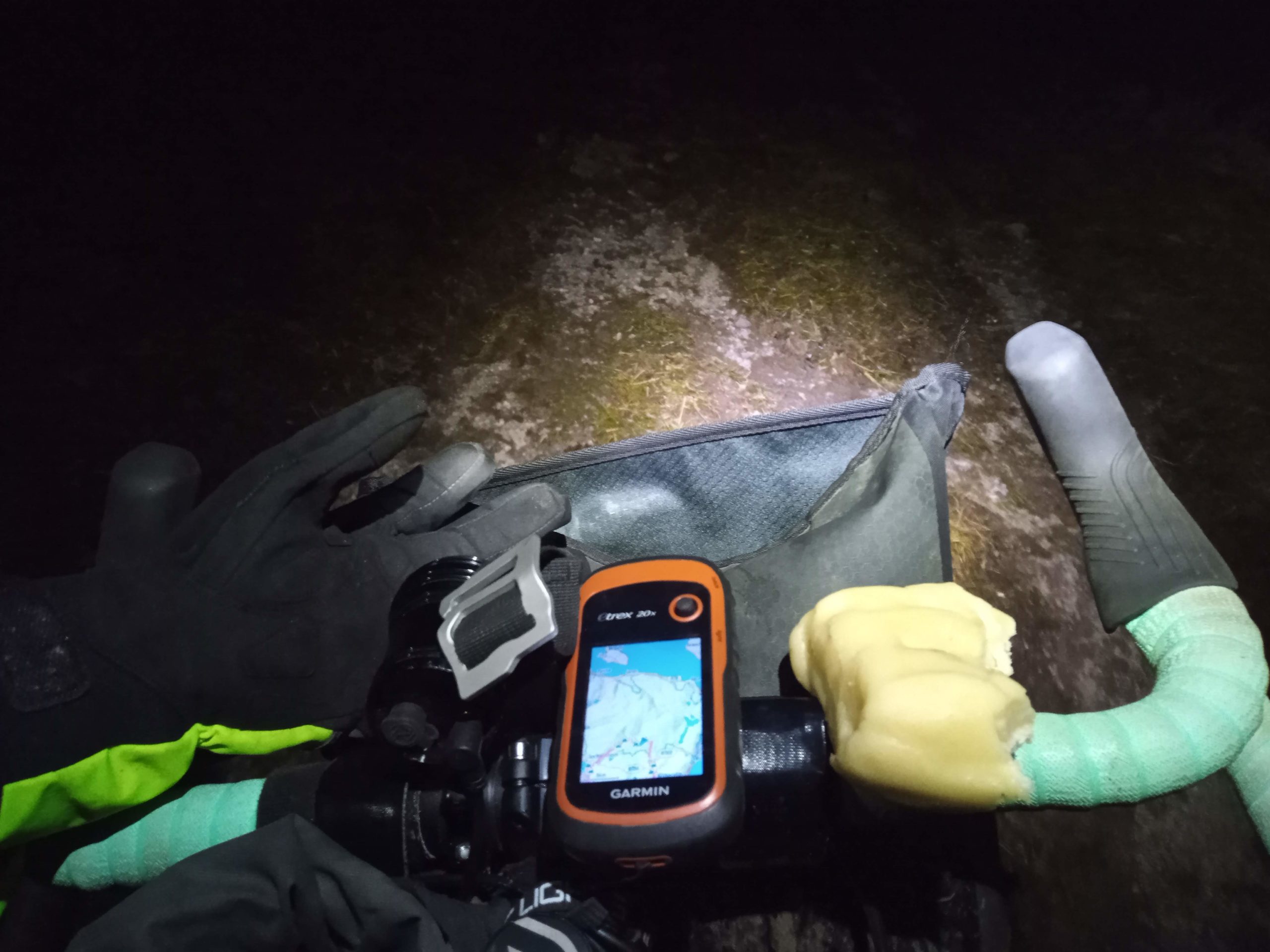
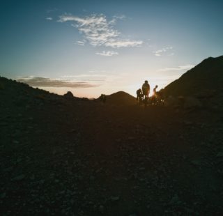
The Glasgow Inner Circle route winds around the side of Lochwinnoch and start a long paved climb leading up to the visitor centre at the top. There are some old mines on top of the Clyde Muirshiel which you might want to check out. A word of warning, this section gets very difficult when the gravel road ends. Be prepared for some really boggy puddle/mud navigating at any time of year! We rode this in the dark last week and I wouldn’t recommend night riding this section for anyone without a good deal of experience.
Emergency marzipan o’clock
If you’ve been riding since 6am this morning and it’s now 9pm and you are suffering from some serious knee pain (after an unexpected crash with a doggo the week before) on the climb up to Clydemuirshel it might be time to crack out the block of marzipan you have stuffed in your frame bag! In my case this was enough to get me over those soggy moorlands, back over to Kilmacolm, on towards the Erskine bridge and back to the start of the loop!

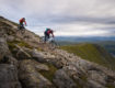
Never short of a boggy hike-a-bike on this route
Ready to try the Glasgow Inner Circle?
Go ahead and give the Glasgow Inner Circle Route a bash! As stated above, there are loads of options to ride parts of the route in stages, perhaps going on the NW, NE, SE, SW descriptions above. Also, the reference to ‘Glasgow Inner Circle’ suggests that Chris also has an ‘Glasgow Outer Circle’ up his sleeve, so watch this space for more on that soon!
Last modified: 12th March 2021


I’ve been wondering about a lockdown-friendly (ie. within 5 miles of the city) loop of Glasgow for a while. I might well try a chunk of the Nicky-Approved© sections this weekend. Looking forward to attempting the whole thing on a wildly inappropriate bike soon. Amazing stuff Chris!
Looks good. I’ve already done a road version but fancy joining up some of the off road sections that I know with some that I don’t. Maybe when the snow stops!!
Tried the Whitelee portion of this route heading clockwise. There is a dead end around the 70 mile mark. The track the route suggests is unfinished and comes to an abrupt stop (which is clearer on the satellite picture of Google Maps).
You could potentially cut through the farm on the parallel track but the farmer is clearly intent on discouraging anyone from getting through there. There are hefty gates and signs warning of dogs.
Hiya Smick,
Me and a few pals probably came across the same farmer a few months ago. It was a bit of a pain as there seemed to be a good road to get out of whitlee, we were going anti-clockwise and heading back to Glasgow.
The farmer was very strong about not travelling through this road due to heavy machinery and farm equipment being a “hazard.” However! he has prepared a small trail to detour round his farm that is just of the track to about 200 m from his gate but it is very hard to spot! It took us a while to find it but it works alright as a detour